)
Understanding GPS Accuracy and Correction Services
While GPS technology has transformed navigation and location services across countless industries, the inherent accuracy limitations of standard GPS receivers present significant challenges for applications requiring precise positioning. Understanding GPS accuracy and the correction services available to enhance it has become essential knowledge for professionals working in surveying, construction, agriculture, utilities, and autonomous systems.
Standard GPS Accuracy: The Baseline
Consumer-grade GPS receivers, like those found in smartphones and basic navigation devices, typically achieve accuracy within 5 to 10 meters under optimal conditions. This level of precision works well for driving directions or finding nearby businesses, but falls short for applications requiring meter-level or centimeter-level accuracy.
Several factors contribute to GPS positioning errors. Atmospheric interference occurs as satellite signals pass through the ionosphere and troposphere, causing signal delays. Satellite clock errors, though incredibly small, can translate into positioning inaccuracies. Multipath effects happen when signals bounce off buildings or terrain before reaching the receiver. Additionally, the geometric arrangement of visible satellites affects accuracy—poor satellite geometry results in diminished precision.
Differential GPS: The First Level of Enhancement
Differential GPS (DGPS) represents the first major improvement over standard GPS accuracy. This technique uses a network of fixed ground-based reference stations at precisely known locations. These stations compare their known position with the GPS-calculated position, determining the error in real-time. This correction data is then broadcast to nearby DGPS receivers, which apply the corrections to improve their positioning accuracy.
DGPS typically achieves accuracy within 1 to 3 meters, a significant improvement that makes it suitable for maritime navigation, general surveying, and precision agriculture applications. The U.S. Coast Guard operates a network of DGPS beacon stations for maritime use, while commercial services provide broader coverage for land-based applications.
Real-Time Kinematic GPS: Centimeter-Level Precision
For applications demanding the highest accuracy, Real-Time Kinematic (RTK) GPS delivers centimeter-level precision. RTK uses a base station at a known location and one or more rover units. The base station transmits correction data in real-time via radio or cellular connection, allowing the rover to calculate its position with remarkable accuracy.
RTK systems achieve horizontal accuracy of 1 to 2 centimeters and vertical accuracy of 2 to 3 centimeters. This precision level has made RTK indispensable for construction site grading, precision agriculture, utility mapping, and autonomous vehicle navigation. Modern RTK systems can operate in both traditional radio mode and through cellular networks using RTK correction services.
Satellite-Based Augmentation Systems
Wide Area Augmentation System (WAAS) in North America, European Geostationary Navigation Overlay Service (EGNOS) in Europe, and similar systems worldwide provide free correction services through geostationary satellites. These systems broadcast correction data that compatible receivers can use to improve accuracy to approximately 1 to 2 meters both horizontally and vertically.
SBAS services require no subscription or additional equipment beyond a compatible receiver, making them attractive for aviation, maritime operations, and applications where moderate accuracy improvement is sufficient without the cost and complexity of DGPS or RTK systems.
Practical Applications Across Industries
Construction and surveying professionals rely on RTK GPS for precise site layout, grade control on earth-moving equipment, and as-built documentation. Precision agriculture uses GPS correction services for automated steering systems, variable rate application of inputs, and field mapping with sub-meter accuracy.
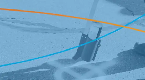
Utility companies increasingly depend on high-accuracy GPS for mapping underground infrastructure, with systems like Terraflow Mobile incorporating GPS correction capabilities to ensure field-collected data meets accuracy requirements for regulatory compliance and operational safety. Emergency services use differential GPS to precisely locate incidents and coordinate response efforts.
The autonomous vehicle industry requires multiple layers of positioning accuracy, combining RTK GPS with other sensors to achieve the reliability necessary for safe operation. Similarly, drone operations for surveying, inspection, and delivery applications depend on enhanced GPS accuracy for precise navigation and positioning.
Choosing the Right Correction Service
Selecting an appropriate GPS correction approach depends on accuracy requirements, coverage area, budget constraints, and operational considerations. Applications requiring meter-level accuracy might choose WAAS or commercial DGPS services. Projects demanding centimeter-level precision typically require RTK solutions, either through private base stations or subscription-based network RTK services.
Cost considerations extend beyond equipment to include ongoing subscription fees for network correction services, cellular data costs for RTK over cellular networks, and the infrastructure investment for private base stations. Modern GPS receivers increasingly support multiple correction methods, allowing organizations to match their approach to specific project requirements.
The Future of GPS Accuracy
Next-generation GPS satellites and complementary global navigation satellite systems continue to improve baseline accuracy. Multi-frequency receivers can better correct for atmospheric errors. Enhanced correction algorithms and machine learning techniques promise further accuracy improvements while reducing sensitivity to interference and multipath effects.
As positioning accuracy requirements increase across industries, understanding the available correction services and their appropriate applications becomes crucial for professionals involved in any location-based work. The combination of improved satellite systems and advanced correction services continues to expand the possibilities for precise positioning in an increasingly location-aware world.