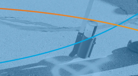
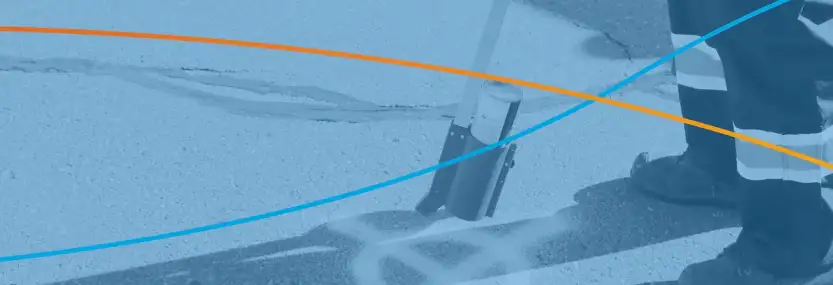
To modernize its landfill management Secure Energy purchase TerraFlow’s Surface Mapper software to measure cut-fill levels.
The list of EPSG codes and the projection name associated with it.
ArcGIS Online has a new function that enable you to subset data in an active hosted feature class called a Hosted View.
This blog post shows a very simple FME process which connects to OpenWeatherMap to get the weather for a city and writes it to an Esri shapefile.
DevOps is a fascinating topic
In the world of Information Technology, GIS is a unique beast.
Incredible photographs from Barcelona
Post by Barry Kelly of Esri Canada discussing the future of GIS and BIM
Benefits to Canadian operators who use Galileo capable receivers
Satellite Lamps which attempts to illustrate the unseen presence of GPS in modern life.
Garrett Miller and Eric Fischer of Mapbox loaded a host of information from RunKeeper to visualize in excess of 1 million walks, runs and bike rides.
Landsat 1 was launched exactly 40 years ago.
Posting from Russia – Russia has threatened to turn off GPS stations in Russia
Using geographic and engineering data to optimize the design to as-built process
Using geographic data to map Canada’s railways and fix issues sooner.
Quickly and seamlessly gather information about your overhead world with best-of-breed laser range finders, GPS and mobile technology.